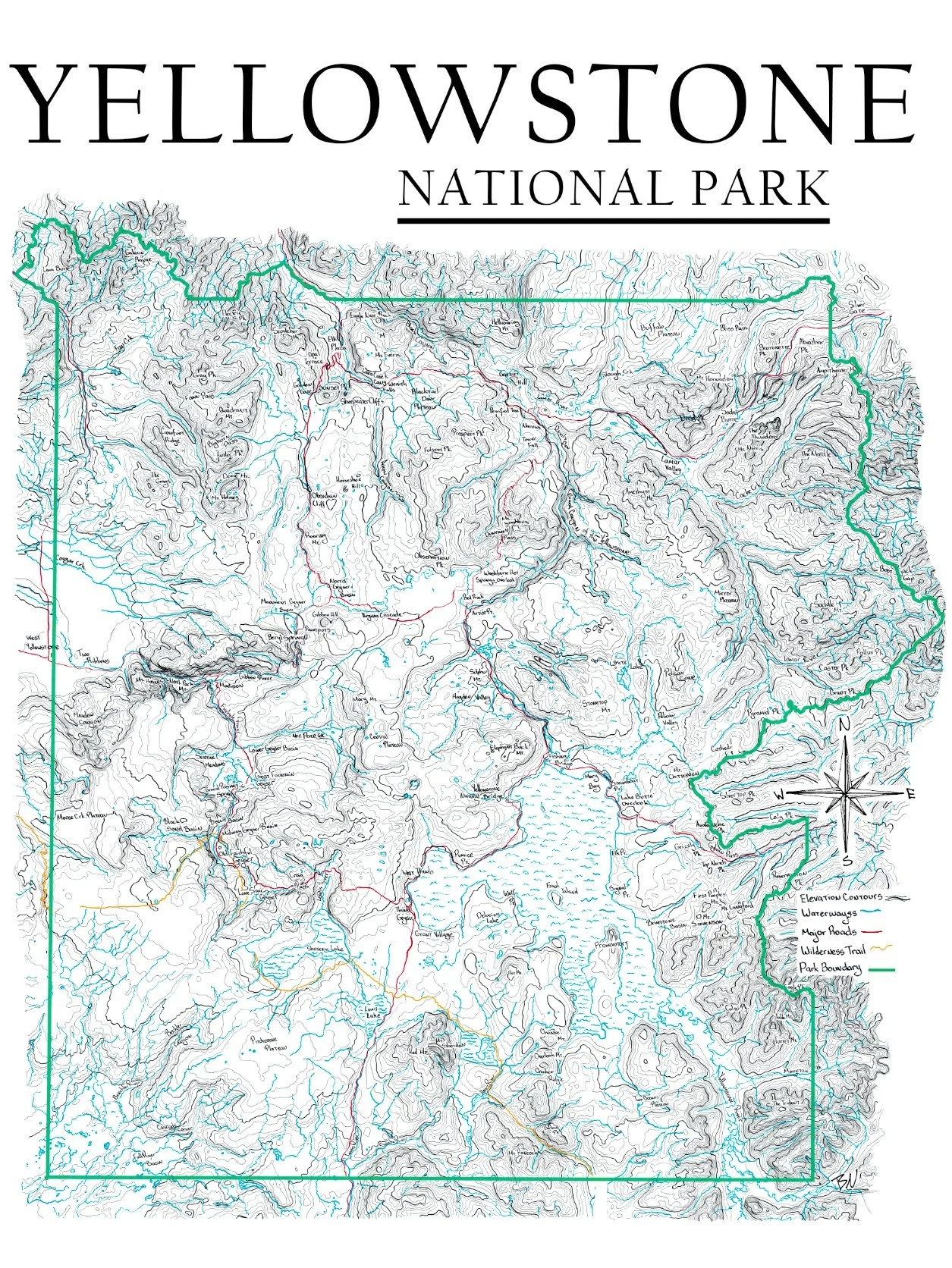
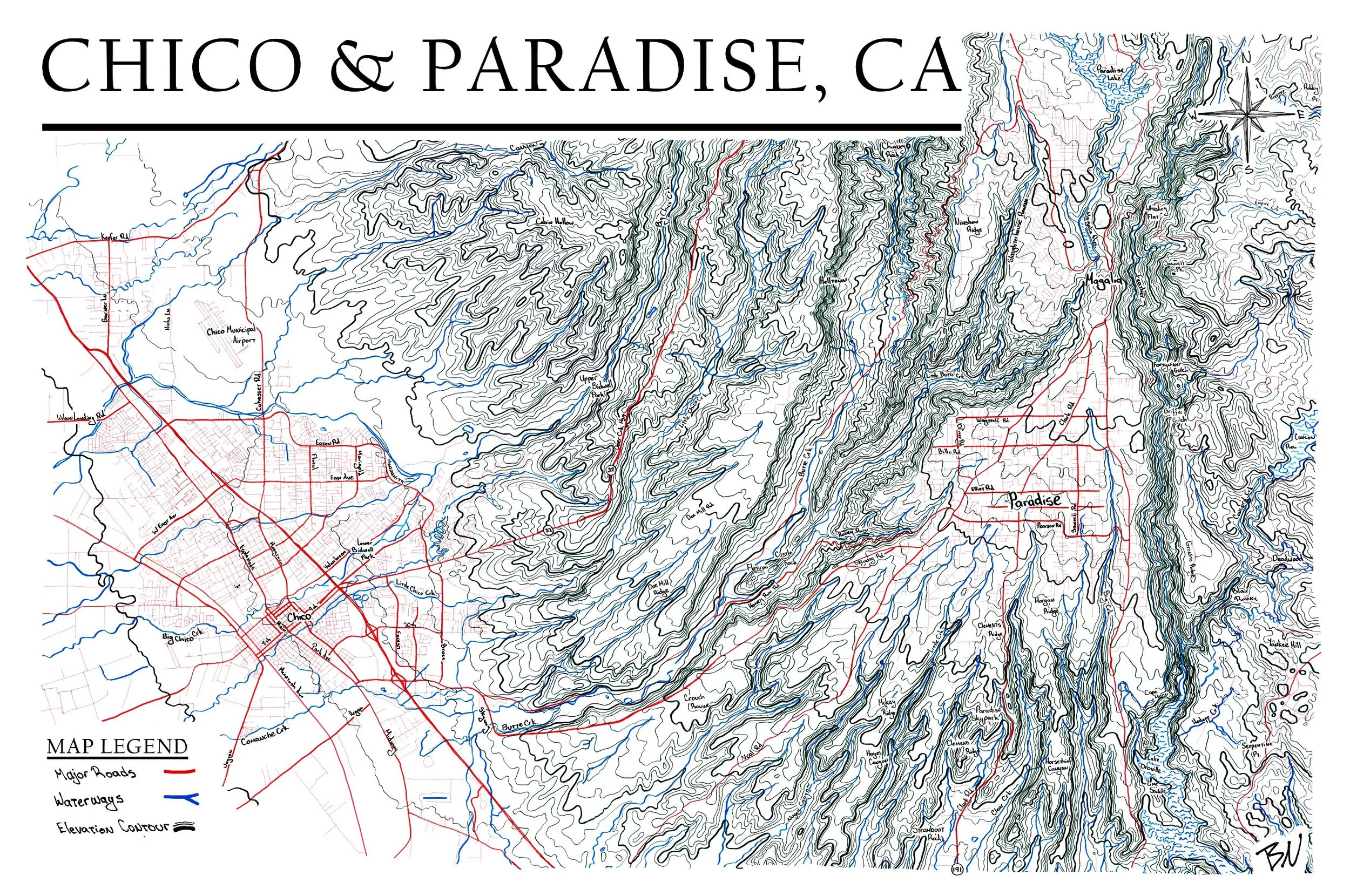
Hand-Drawn Topographic Maps
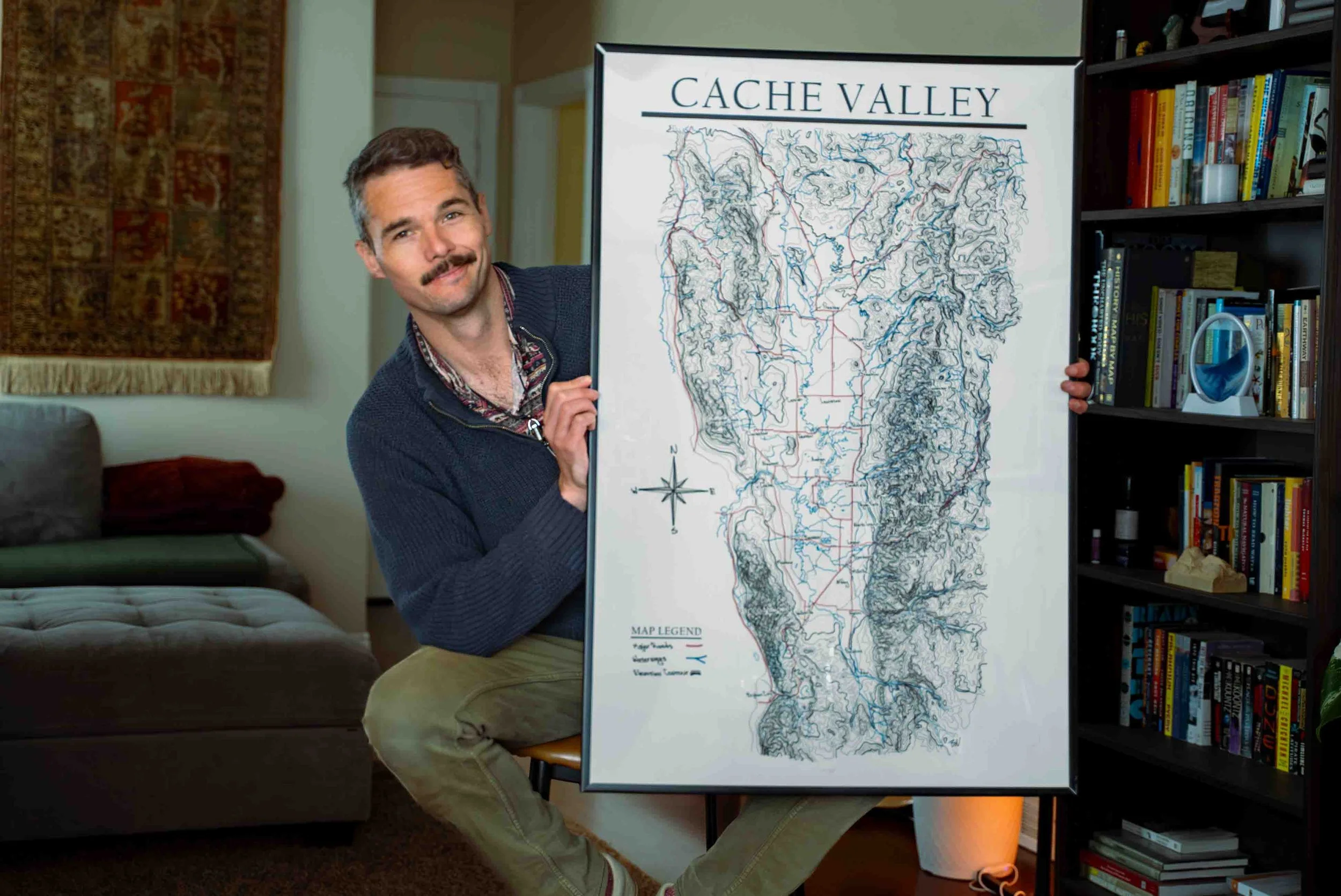
I draw these maps by hand with pens and markers on poster paper. Choose from white or black options and check in as more maps come out!
Come see me at these markets
2026 Community Craft Beer Fest in Logan, UT on May 3
Summerfest at the Cache County Fairgrounds from June 18-20